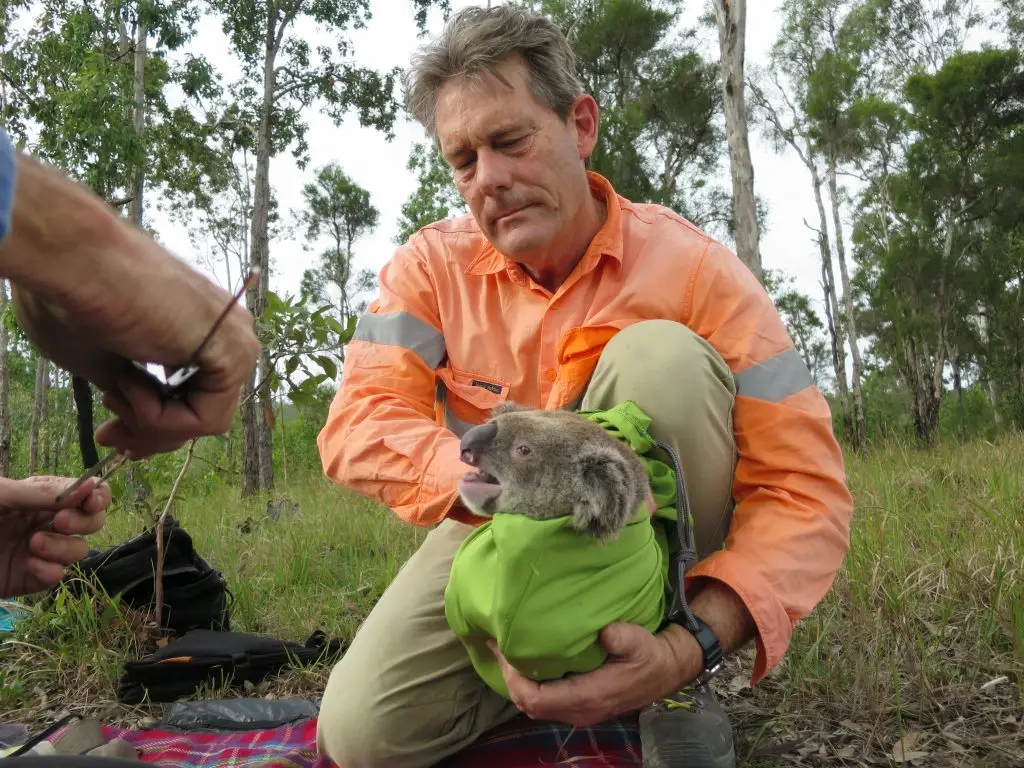
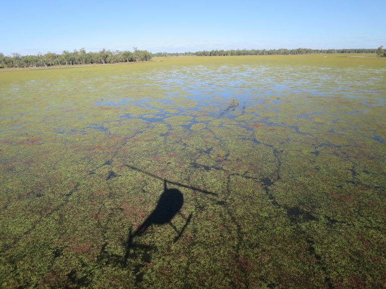
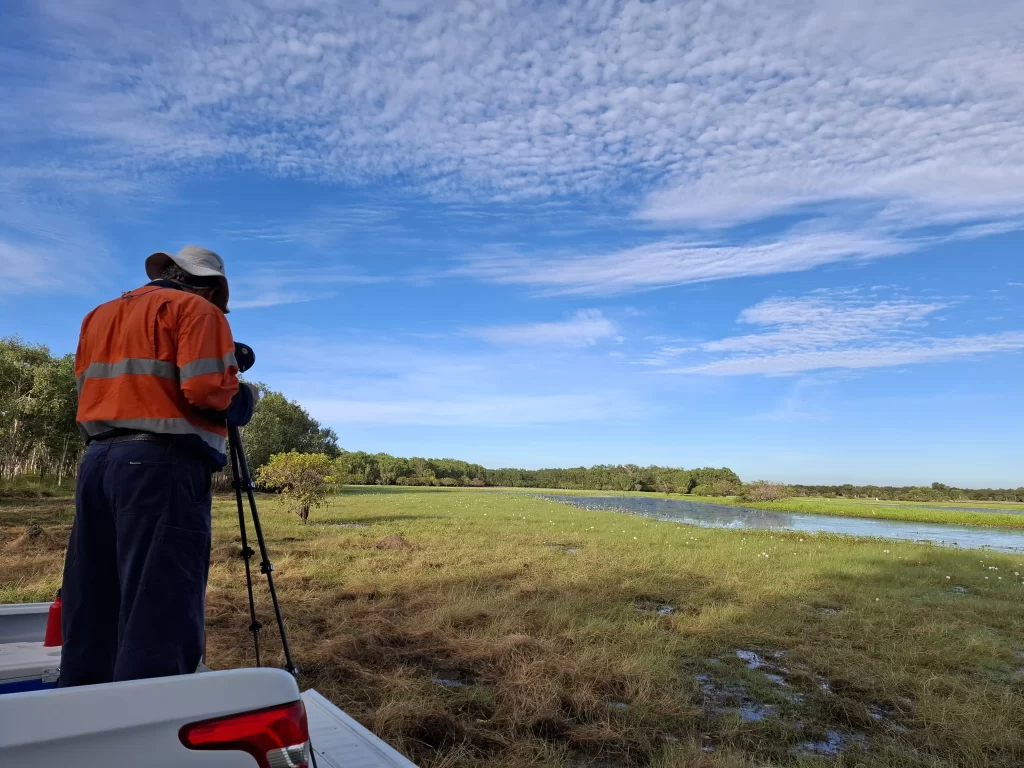
Yarrabilba Urban Development
Spanning approximately 2,000 hectares, the Yarrabilba Urban Development Area represents a significant State urban planning initiative in South-East Queensland.
Client: Sea Farms Group Limited
Project: Large scale aquaculture
Timeline: 2015 – 2022
Seafarms Group Limited proposed to develop a substantive aquaculture project located on the Legune coastal floodplain within the extreme north-west corner of the Northern Territory.
Austecology was commissioned to design and negotiate survey strategies and methods acceptable to both the Commonwealth and Northern Territory Governments. A comprehensive and systematic field survey program was approved. Key elements of the survey program were:
In accordance with EPBC Act project approvals, and in consultation with government agencies, Austecology prepared a Waterbird Monitoring Plan. That plan provided the framework for monitoring waterbird population dynamics and established limits of acceptable change for habitat values, so as to trigger, if required, adaptive management responses.
Austecology was commissioned to implement the 5-year monitoring program, which included an annual report of findings in the context of the agreed limits of acceptable change. The main aspects of the annual survey work were:
Spanning approximately 2,000 hectares, the Yarrabilba Urban Development Area represents a significant State urban planning initiative in South-East Queensland.
The Coomera Connector (sometimes referred to as the Second M1), is a future state-controlled road extending some 45 kilometres from the northern Gold Coast to Loganholme.
Austecology was commissioned by a principal consultant to implement a series offset monitoring surveys across South-west Queensland for Santos energy.
Delivering sustainable environmental solutions for clients since 2006.