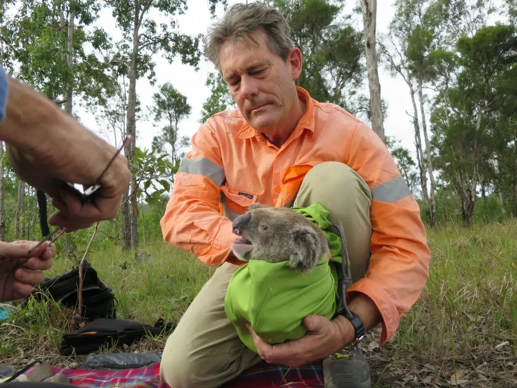
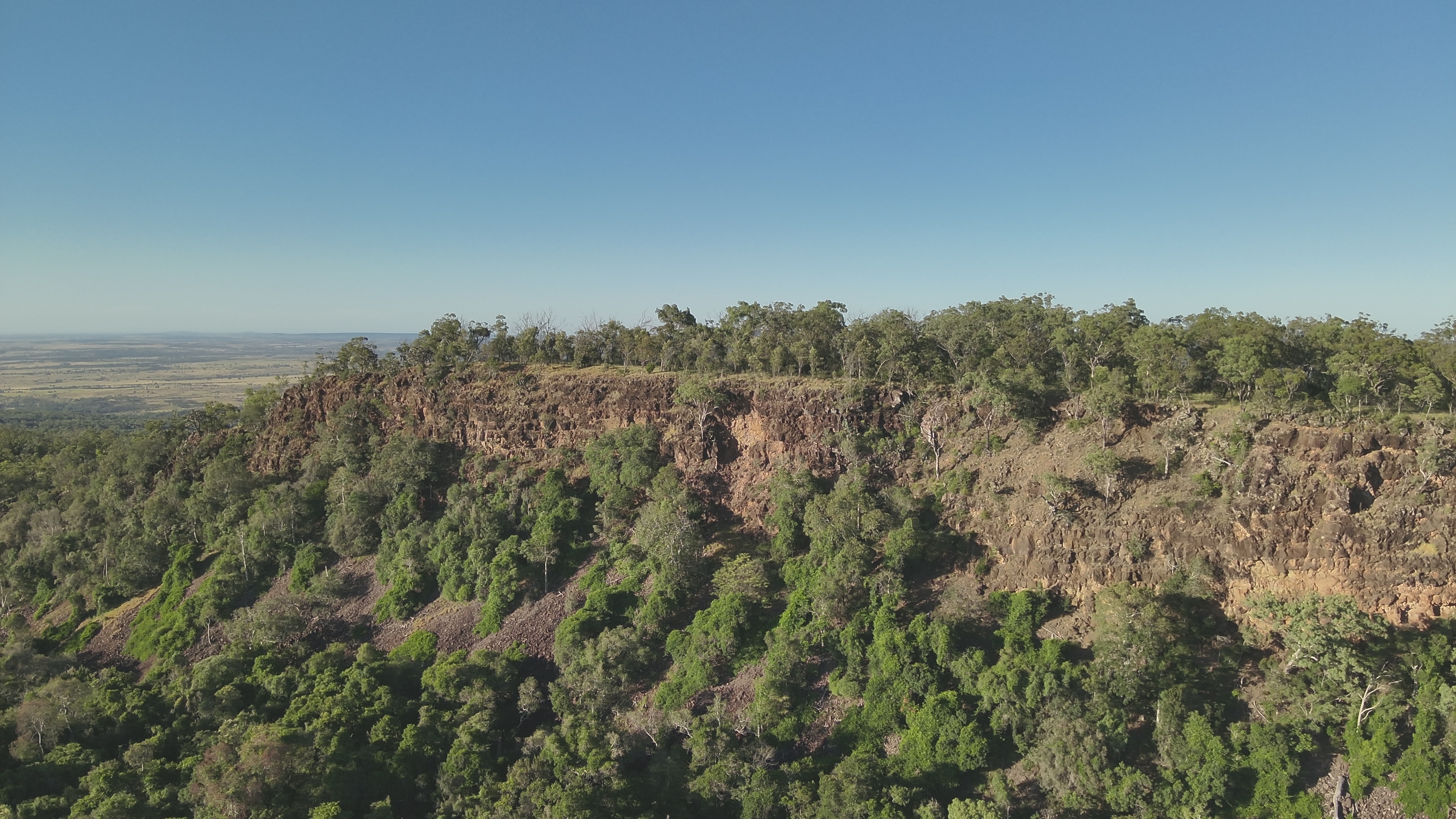
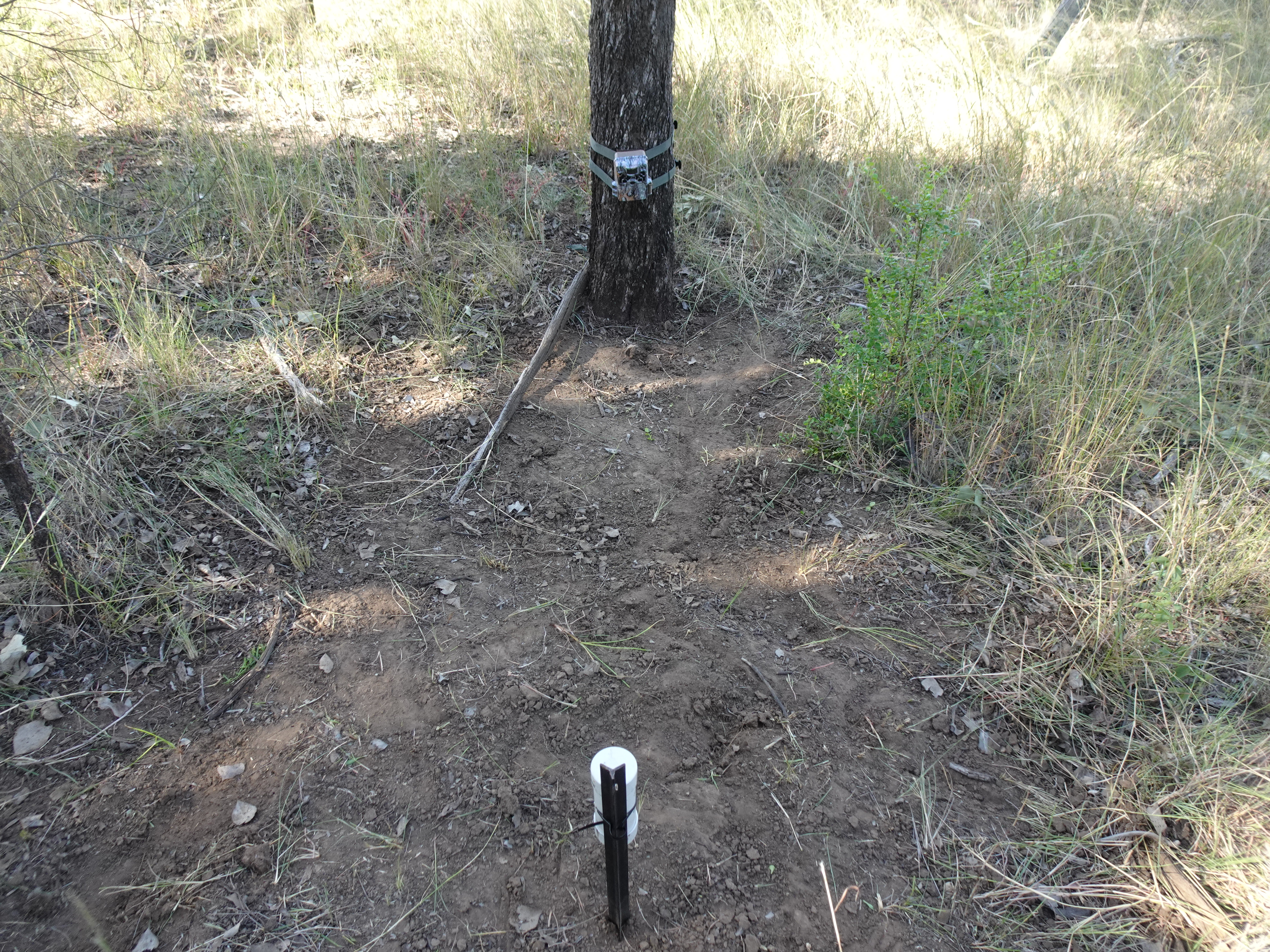
Yarrabilba Urban Development
Spanning approximately 2,000 hectares, the Yarrabilba Urban Development Area represents a significant State urban planning initiative in South-East Queensland.
Spanning approximately 2,000 hectares, the Yarrabilba Urban Development Area represents a significant State urban planning initiative in South-East Queensland.

Seafarms Group Limited proposed to develop a substantive aquaculture project located on the Legune coastal floodplain within the extreme north-west corner of the Northern Territory.
The Coomera Connector (sometimes referred to as the Second M1), is a future state-controlled road extending some 45 kilometres from the northern Gold Coast to Loganholme.